
40 minutes to 3 hours Circular Walks to/from the New Inn
Walks around Norton Lindsey from the New Inn Pub
CAMRA, citing research from Oxford University, states that going to the pub is good for your personal wellbeing. Pubs play a pivotal role in providing an open venue where you can make friends in a relaxed atmosphere and sustain current friendships, which has a huge impact on our health and happiness.
Community pubs are much more than just ‘watering holes’, they are common meeting grounds for a variety of groups and social clubs, and even facilitate healthy and active lifestyles for sports teams and cycling & walking groups.
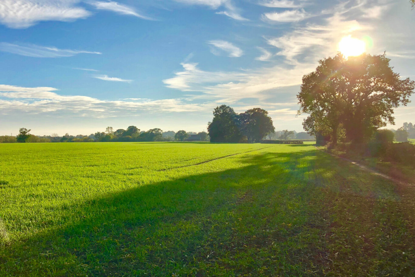
The New Inn would like to bring together an active lifestyle with good food and drink by providing a selection of circular walks that start and finish at the pub. What better than to park in our pub car park, get some drinks or snacks from our Community Shop, and set off to explore the beautiful local countryside and then, after working up your thirst and appetite, return to the pub for that well-earned drink and a bite to eat.
The pub has created 7 circular walks ranging in length from 2 to 7.5 miles, ensuring that whatever your level of fitness or time constraints, there is a suitable walk for you.
Our circular walks, each having a pictorial map and detailed directions, are downloadable from this website or are available in hard copy from the pub or shop.
The New Inn circular pub walks – the opportunity to stretch your legs and reward yourself with some top-notch food and drink.
Whilst every effort has been made to ensure the walks are clear and accurate so that you should not lose your way, we would always recommend that you carry a map (hard copy or digital) as a contingency.
There are a number of ways to use our guides:
- We have a handy 2-page guide on each walk that you can download and print from home, or alternatively, pick one up from the pub or shop
- On this website, there are step-by-step instructions, complete with pictures & an overview map
- You can access them on the OS Maps website, or the free-to-download OS Maps App, which will allow your smartphone to act as a walking SatNav – links for the OS Maps App are here:


Available Walks:
- Blacon Farm (2 miles / 3.5 km):
The shortest and an easy walk. All on solid track, road or pavement so no need for hiking gear! See the heart of our village and, weather permitting, take in some fantastic views over South Warwickshire and the Cotswolds. - Canada Meadow (5 miles / 8 km):
Mid-length walk that takes you south of the village through pastural land, around arable fields, and into some lovely woods. All this is set against the backdrop of our beautiful, gently rolling, Warwickshire countryside. - Gannaway Wood (5 miles / 8 km):
Mid-length walk covering footpaths, arable fields, woods and some roads. Stop in the village churchyard for the panoramic views towards Warwick and Edgehill, the site of the first battle in the English Civil War in 1642. Gannaway Hill, or Stinky Hill as locals call it, was reputed to have been a burial site for horses during that war. - Wilderness Cottage (6 miles / 9.5 km):
Added in 2024, around 6 miles in total and taking in some new countryside, which is predominantly over open pasture land and country lanes. The route will take you to Wilderness Cottage and then onto Pinley where you skirt round the site of Pinley Abbey. - Bargain Wood (7 miles / 11 km):
A shortened version of our Four Parishes walk, this takes you through the gently rolling Warwickshire countryside as it touches two of our neighbouring villages, Wolverton and Claverdon. The walk crosses pastural land and skirts arable fields as well as making occasional use of minor roads. - Deserted Village (7.5 miles / 12 km):
A longer walk which takes you south-east of our village through pastural land, around arable fields, through some woodlands and on some minor roads. A couple of major roads need to be crossed and one where walking on the verge for 400 yds is required. Pass the mediaeval village of Fulbrook, once the site of the Duke of Bedford’s castle, built in 1400 but a ruin by 1478! Nb. this walk has the potential to be halved in length. - Four Parishes (7.5 miles / 12 km):
A longer walk mainly through arable fields in the beautiful undulating Warwickshire countryside. Pass through four of the local parishes, Norton Lindsey, Wolverton, Langley and Claverdon. On a clear day, see the Malvern Hills as you ascend towards Wolverton. Short-cut is available when you reach Claverdon, reducing the walk by around 1 mile.
If you spot any errors on this page, or would like to make suggestions to make it clearer, please let our webmaster know: webmaster@thenewinn.pub